Garmin GPSMAP 1243 Chartplotter with Garmin Navionics+ coastal and inland water charts for the U.S. and Canada
Model: 010-02367-60
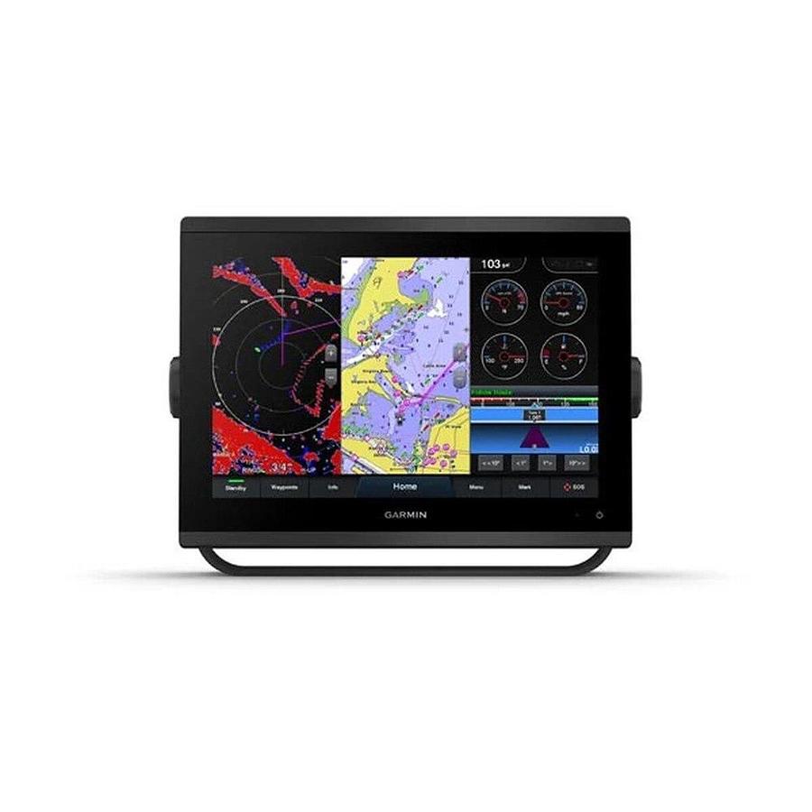
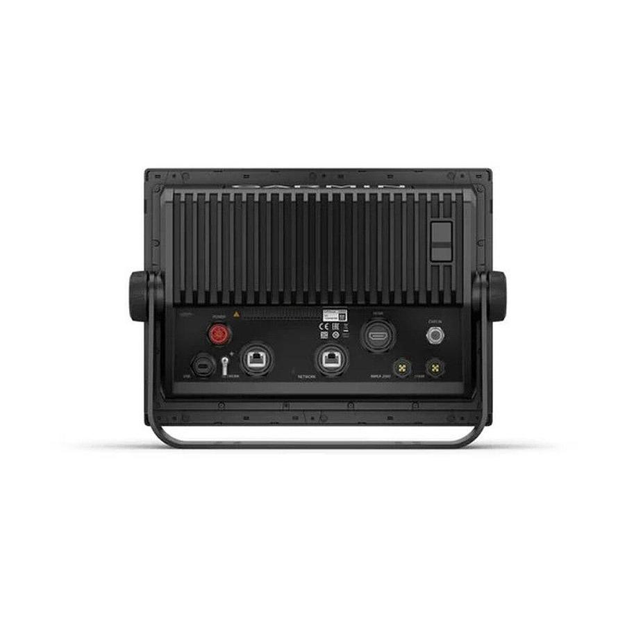
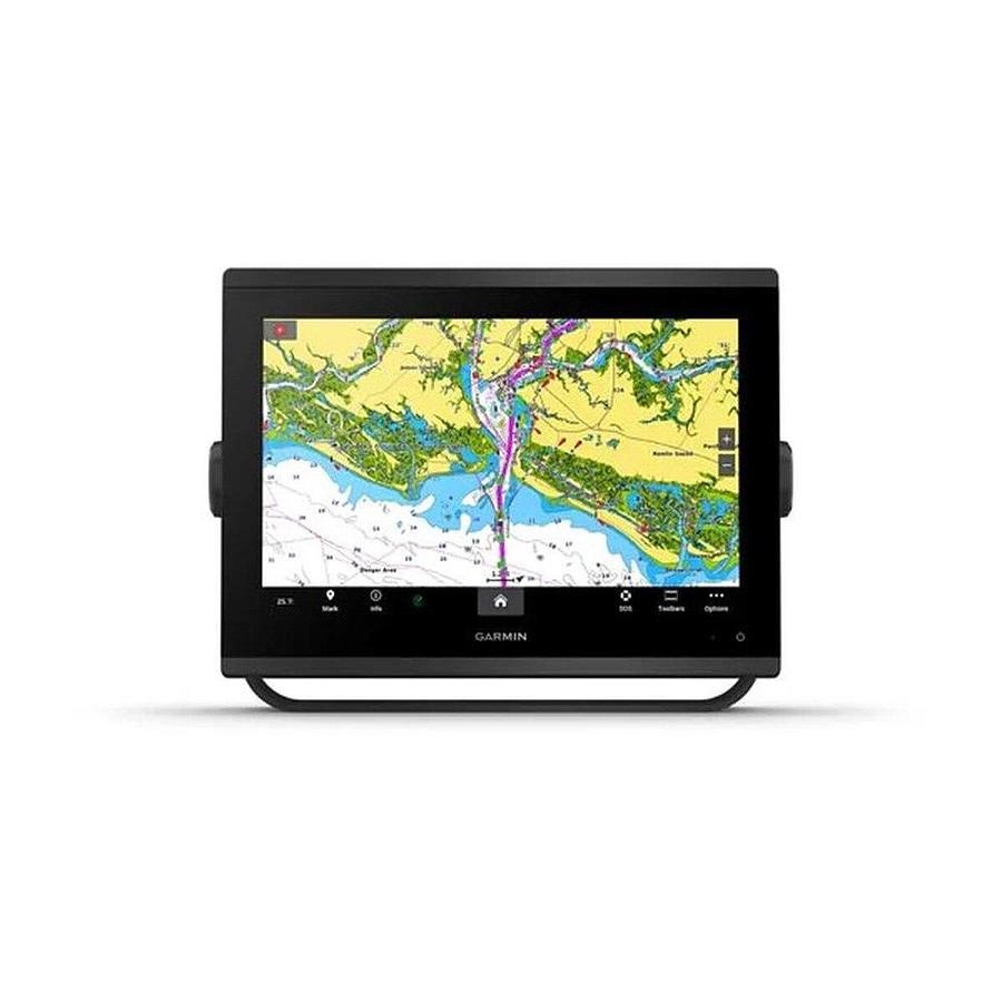
New high-resolution in-plane switching touchscreen display offers improved sunlight readability and wide-angle visibility over previous-generation 12 in unitsFast and responsive, this robust GPSMAP(R) system references 10 Hz GNSS (GPS, GLONASS and Galileo) for accurate positioning and smooth speed as well as COG dataSlimline display borders, edge-to-edge glass and reduced unit footprint make for easy retrofit in a wider range of dash configurationsPreloaded Garmin Navionics+TM coastal charts and inland mapping feature Auto Guidance+TM technology (Auto Guidance+ is for planning purposes only and does not replace safe navigation operations) ; plus, there's support for optional Garmin Navionics Vision+TM premium map content.Built-in Garmin SailAssistTM features, including laylines, race features, set and drift, wind data and more. Requires compatible wind transducer (sold separately)J1939 engine connectivity for easy integration with engines and our exclusive OneHelmTM feature for connecting to your compatible third-party devices, such as EmpirBusTM digital switchingEasily build your marine system - from compatible sonar and autopilots to compatible radar, cameras and multimedia - by using NMEA 2000(R) and NMEA 0183 networking and the Garmin Marine NetworkUse built-in Wi-Fi(R) networking to pair with the free ActiveCaptain(R) smartphone app for access to the OneChartTM feature, smart notifications, software updates and more.Integrated ANT(R) connectivity support for use with compatible quatix(R) smartwatches, the gWindTM Wireless 2 transducer, GNXTM Wind marine instrument and wireless remote controls (sold separately)"Get a sharper view from your connected helm with the GPSMAP(R) 1243 chartplotter. Its high-resolution 12 in in-plane switching touchscreen and ultrasleek design seamlessly integrate into your Garmin marine system
InstallationManual FlushTemplate OwnersManual